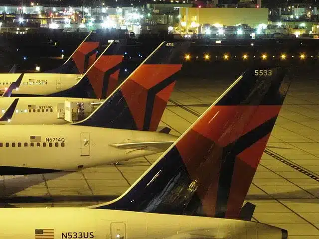
How Tracking Aircraft might help us to NetZero
No! – it’s not a Live view of the radar systems Air Traffic Controllers use. Flight Tracker software use aircraft-based systems.
Those systems are critical infrastructure platforms protected by law and the best protection systems available. That Flight Tracker data is not accessible, nor is it for sale.
The Time is Real Time
There are also a few mistakes in the “live” data you receive on these apps. So don’t go betting real money with friends on your dad’s exact Charlotte to Hapsburg departure time.
Flight Status Data comes from a couple of places and the accuracy differs depending on a few factors.

"What time do you get in"?
Or “Ping me when you land?”. Or if you’re like us, you get that look from your partner when they hop in the car at the terminal – where they’ve been standing for 40 minutes – and have that look that says, “where the fudge have you been?”.
You younger travelers haven’t needed to do this for a while. Not since a group of silicon Valley’ers discovered API a few years back.
Application Programming Interface or API is where our Flight Tracker journey begins. You see, a lot of you will still go to Airport websites and check the Arrivals and Departure boards as airports have been publishing this data for years. App providers scrape this data, mostly using API, and they will then use this data in their “tracking” software.
Well, the budget guys do. The big guns – like Flightradar24 – go straight to the horse’s mouth.
The Budget Version
What it boils down to is the word “Actual”. In Aviation we are so important that we have two types of time. That’s right. We have Scheduled Time and we have Actual Time.
Your flight to Vegas is scheduled for 13:20 today, but the actual time might be 13:40 because of Weather or taxi wait times. Your budget Flight Tracker app uses API to show the scheduled airline time until it receives an update from the airport with the actual time, which it then updates.
It then uses pre-programmed flight times for commercial aircraft to calculate the arrival time at Vegas and then updates it when McCarron reports the wheels on the ground in Sin City.
So why not just go to the airport’s websites and check there for these times? Why not indeed, but you wouldn’t have that tiny virtual aircraft on its predicted path across the sky now would you?
Real Flight Tracker
As you can imagine this system is not perfect and subject to errors, delays and sometimes just being plain wrong. In a lot of cases, the budget data is being manually inputted into the system by some person in a room somewhere in the app headquarters.
What the app is missing is things like “wheels up time” and “on blocks” time. When the aircraft is pushed back, the Airport considers that “departed”. But your taxi wait times could be 15 minutes to get to the runway and might be another 30 minutes waiting for your turn to take off.
Same at the destination airport where you could have another time for parking delay. So if accuracy is a real issue for you, then you should not be using these apps for any scientific study on things like Air Traffic Management.

ADS-B Flight Tracker
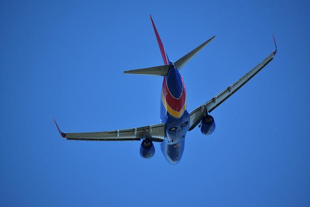
Flightradar24 uses a different, direct approach. It gets its Flight Tracker data directly from the aircraft itself. This is possible because most (and in a few years, all) commercial aircraft have a small black box onboard called an ADS-B (or ADS-B Out). Automatic Dependent Surveillance-Broadcast technology.
This box was introduced to allow aircraft to determine its position via satellite and other transmitters and it periodically transmits that data to allow it to be tracked by stakeholders. But those tracking transmissions are collectable by anyone if you have permission and the right equipment.
ATMs have it because it means that they don’t have to rely on just radar stations to know where aircraft are, but also critically, it affords users the ability to let all aircraft know where each other is, especially when in proximity.
Real-Time
This has been a requirement in a lot of jurisdictions since 2020 but has been in the EU since 2017. Where it really comes into its own, is in places where we don’t have radar at all.
And in fact, it is hoped that we might do away with radar altogether and rely solely on the ADS-B OUT and IN technology, which is far more accurate and “real-time” as it conveys a lot of information about the aircraft itself and not just a radar-return which just shows altitude and heading.
Mode S
So besides Air Traffic control and receiving weather and Notam updates, the ADS-B has another function called Mode-S. While in this mode the aircraft will transmit its GPS location data, once every second.
This data consists of Longitude, Latitude, Altitude, Speed (horizontal and vertical), the aircraft’s transponder code (its “license plate”) and the current flight number. It does this on the 1090Mhz channel, where anyone with the right technology on the ground can just reach up and grab it.
The Mode-S can also be used to notify emergency issues if they happen. These are called “Squawks” and along with the transponder, they can be used to transmit an emergency, if normal communications systems or down, or notify ATC about a hijacking.
How much does this all cost?
Nothing. Sort of. The ADS-B signals on the 1090Mhz channel can be accessed by anyone. All you need is a 1090Mhz range antenna and a basic radio receiver. You can even do it through your television set with a few pieces of tech from Amazon.
How FlightRadar24 does it
Crowdsourcing.
Using many thousands of radio sources across the globe, the data is fed into their servers in real time. With data on aircraft coming from multiple sources at once.
The ADS-B signal is good for about 150 miles from the aircraft’s position but it’s never that far away from a radio receiving source.
Flightradar24 then uses some hi-tech magic as well as the Airport data (just to fill in the gaps in places like the great circles tracks over the Arctic or in the southern hemisphere) and voila! – you can see all that live aircraft data on your phone.
All the data from the aircraft is fed directly into its profile allowing you to search and track it from your smartphone. It’s simple and we just wish we had thought of it. And not just for the live element. Flight data is kept and stored and soon this pile of “big data” grows.
Big data is powerful when dealing with repeating systems. It can be used for a lot of things that are valuable to airports and airlines and others in areas like sustainability.
But the app alone is cool. It really does solve a lot of scheduling issues for friends and family, and we love anything that can improve the passenger experience. Right now, on flight radar, you can physically point your camera at an aircraft in the sky and it will locate the aircraft on the app and tell you exactly who it is and where it’s going. That’s awesome.
The Future of ADS-B
Where this technology holds the greatest potential, however, is in sustainability. Today, we are restricted to ATC using radar systems to control aircraft. And there is limited flexibility in how we can route them and separate them. With ADS-B the aircraft now “knows” where it is, but also where the other aircraft are. This allows us to efficiently flight plan and detour aircraft to save time, fuel and thus CO2 emissions.
There are two examples of this being trialed right now.
This is an ADS-B application that allows airborne aircraft to change flight levels more often without bothering ATC and getting clearance. Aircraft can deviate more often to save fuel or avoid turbulence without seeking approval every 2 minutes and increasing workload.
CAVS allows aircraft to have information on other aircraft directly in front of them. Lead aircraft on approach is an area of potential increased safety and fuel efficiency. If the following aircraft is aware of the lead aircraft, then they can improve situational awareness and lower go-arounds.
Airports can also increase throughput and reduce go-arounds with this additional information. It could also make life easier for light aircraft at busy terminals.
As ADS-B technology improves and the boxes decrease in size, the biggest winner will be the UAS and Drone sectors. UTM (Unmanned Traffic Management) needs a way to control the potential thousands of craft in the skies in the decades to come and ADS-B will be the solution. We just need to shrink the tech so its burden on smaller craft is not so penalizing.